• Skip to primary navigation
  • Skip to main content
James Brosher Photography

James Brosher Photography

Portfolio website for James Brosher, a Bloomington, Indiana based editorial and wedding photographer specializing in action, documentary, and portrait images.

  • Home
  • Portfolio
    • Aerial
    • Editorial
    • Multimedia
    • Portraits
  • Stories/Essays
    • Lux et Veritas
    • Remembering Isaac Salas
    • Mishawaka Horseshoe Pitching
    • Frontier Days
    • Michiana Moments
    • Notre Dame Football
    • Holga
  • Services
    • Weddings
    • Drone
  • Contact
  • Bio
  • Blog

Drone

Visual Portfolio, Posts & Image Gallery for WordPress

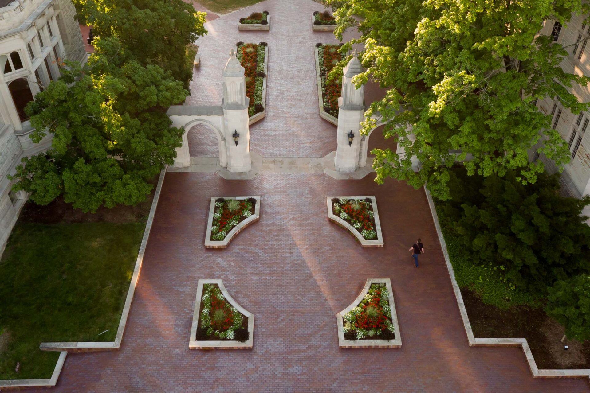
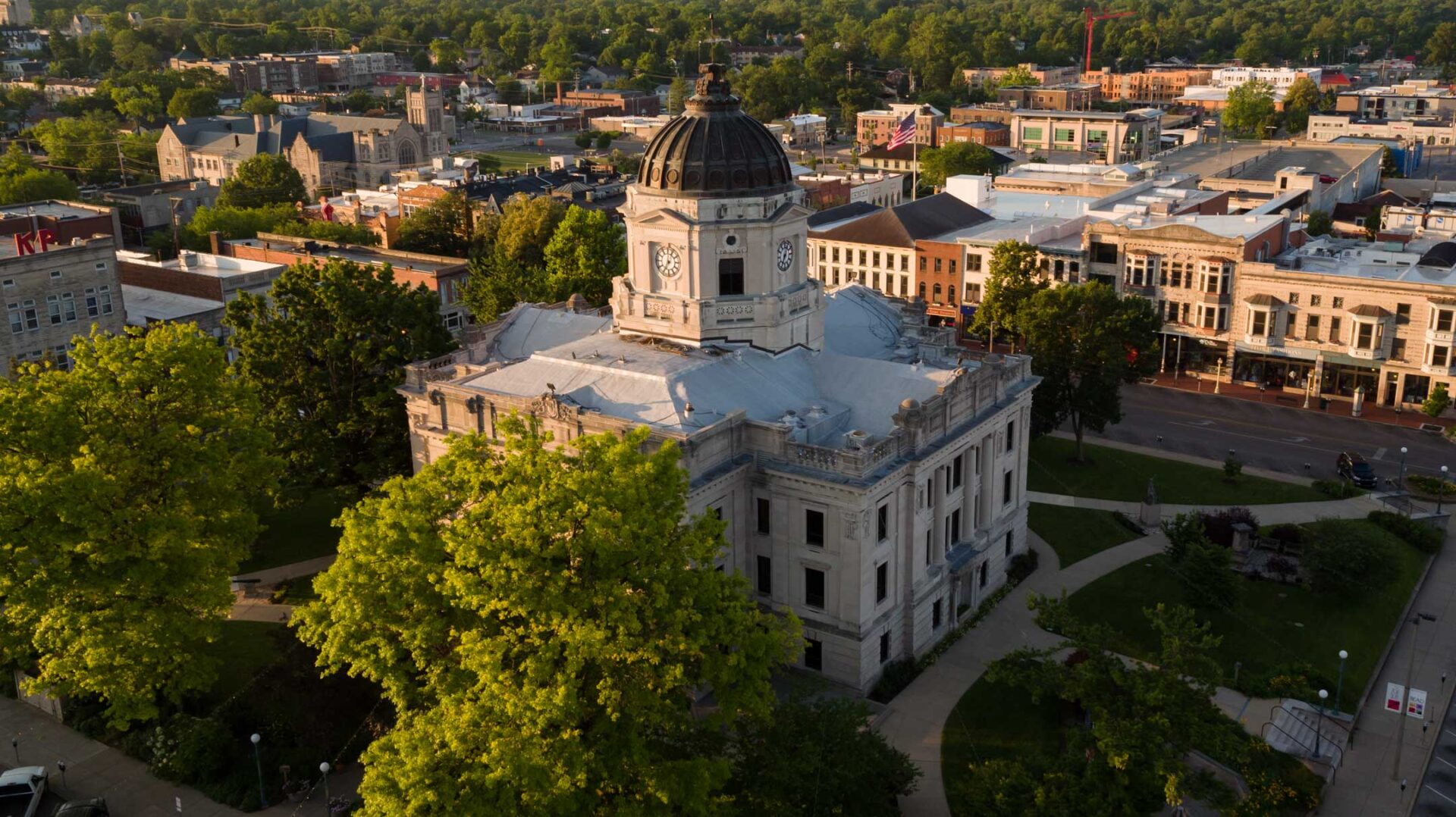
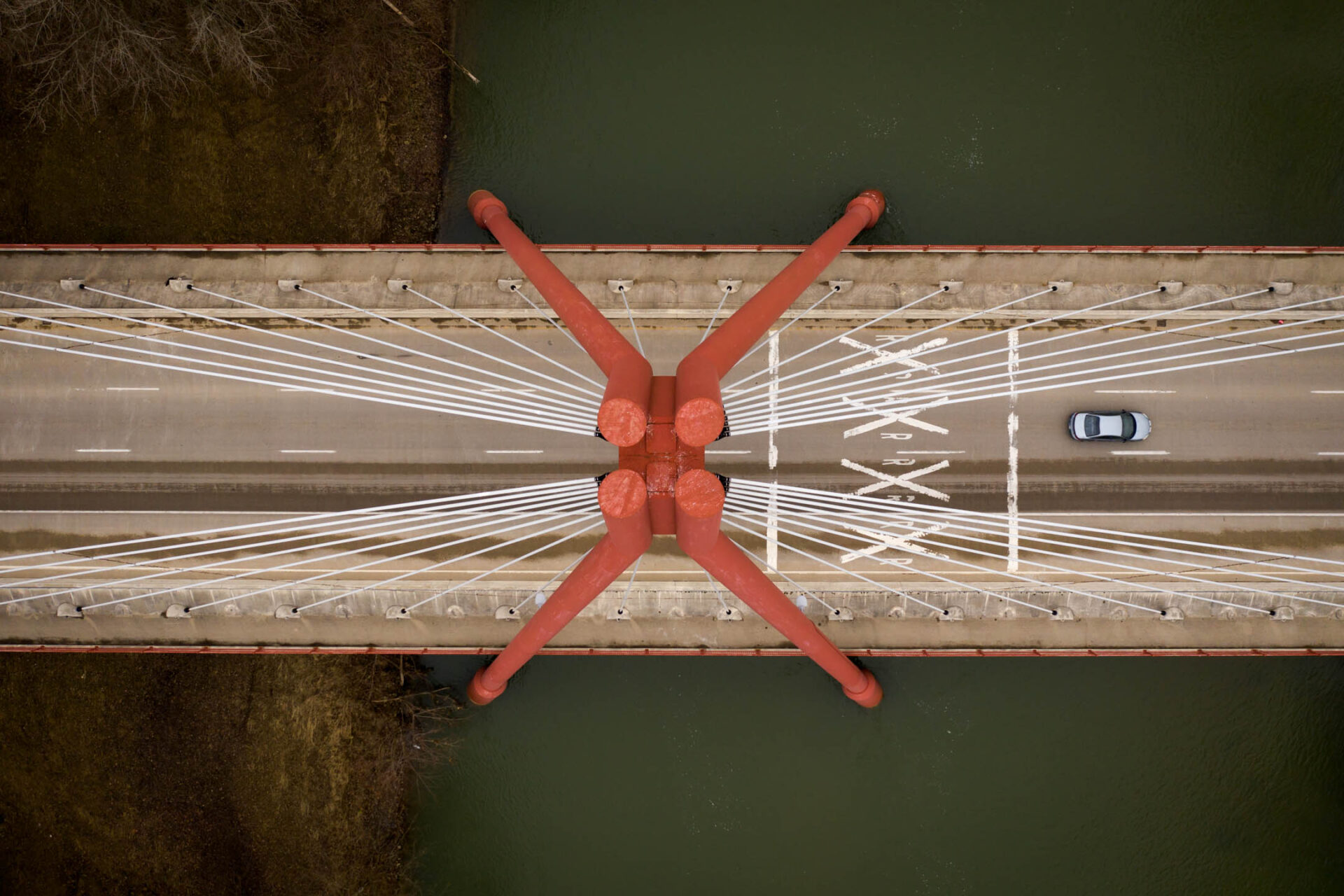
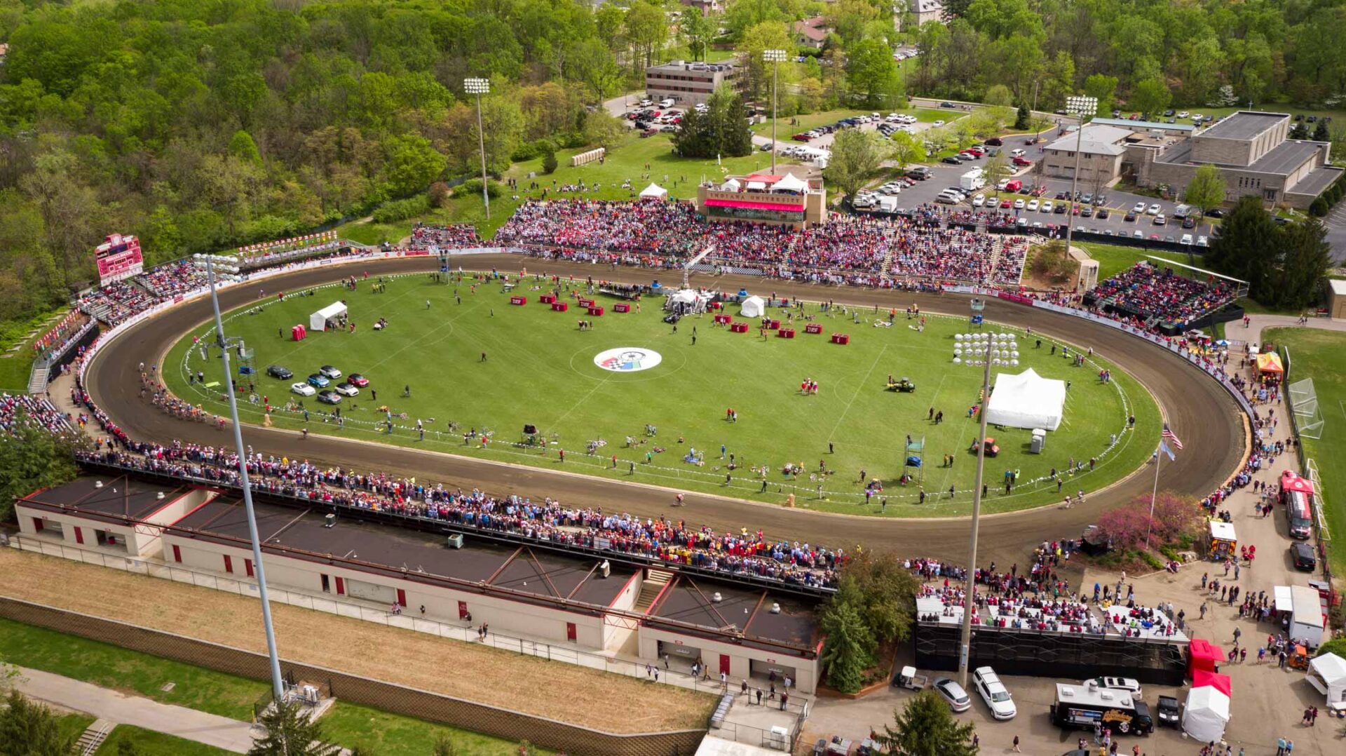
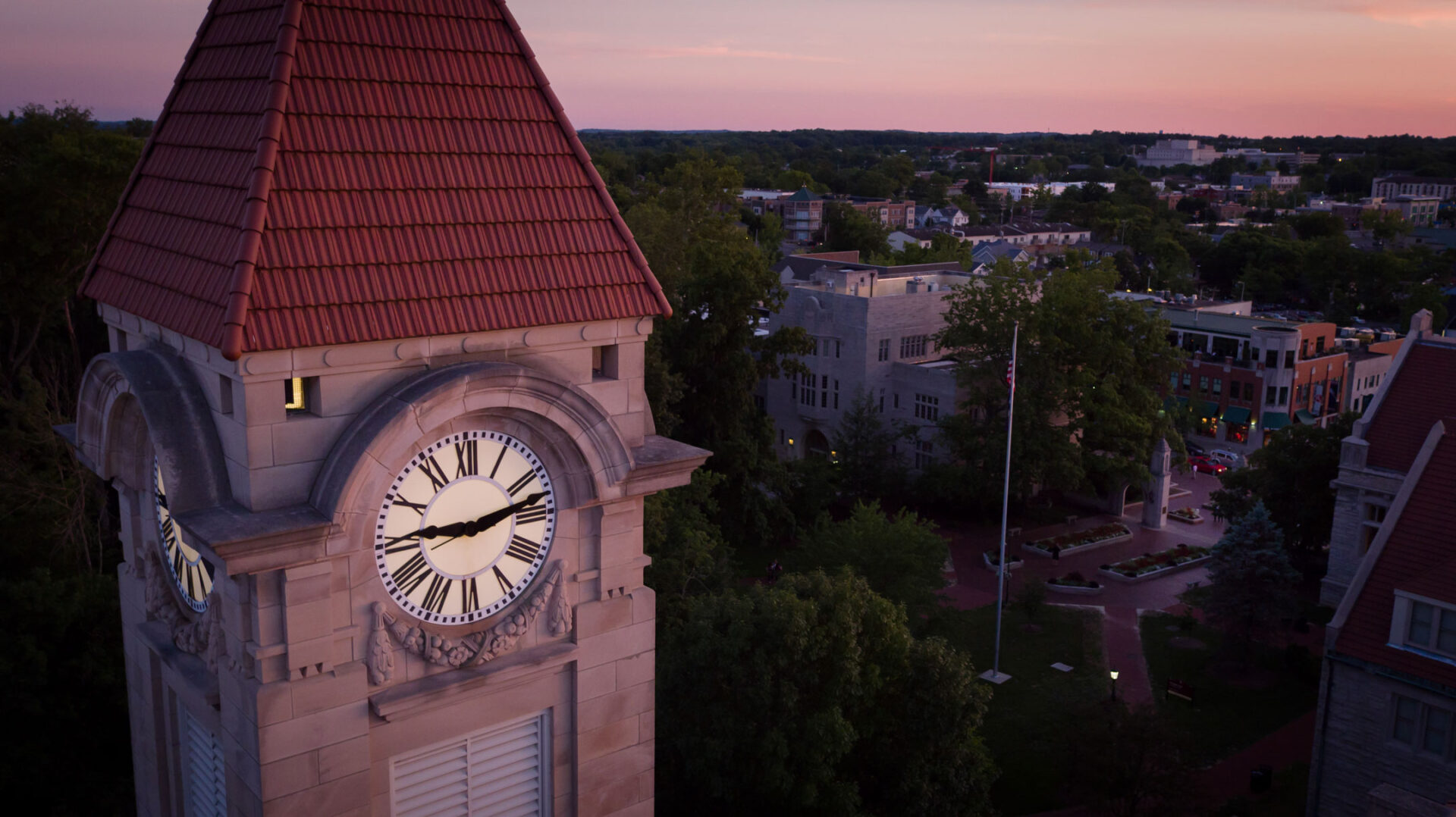
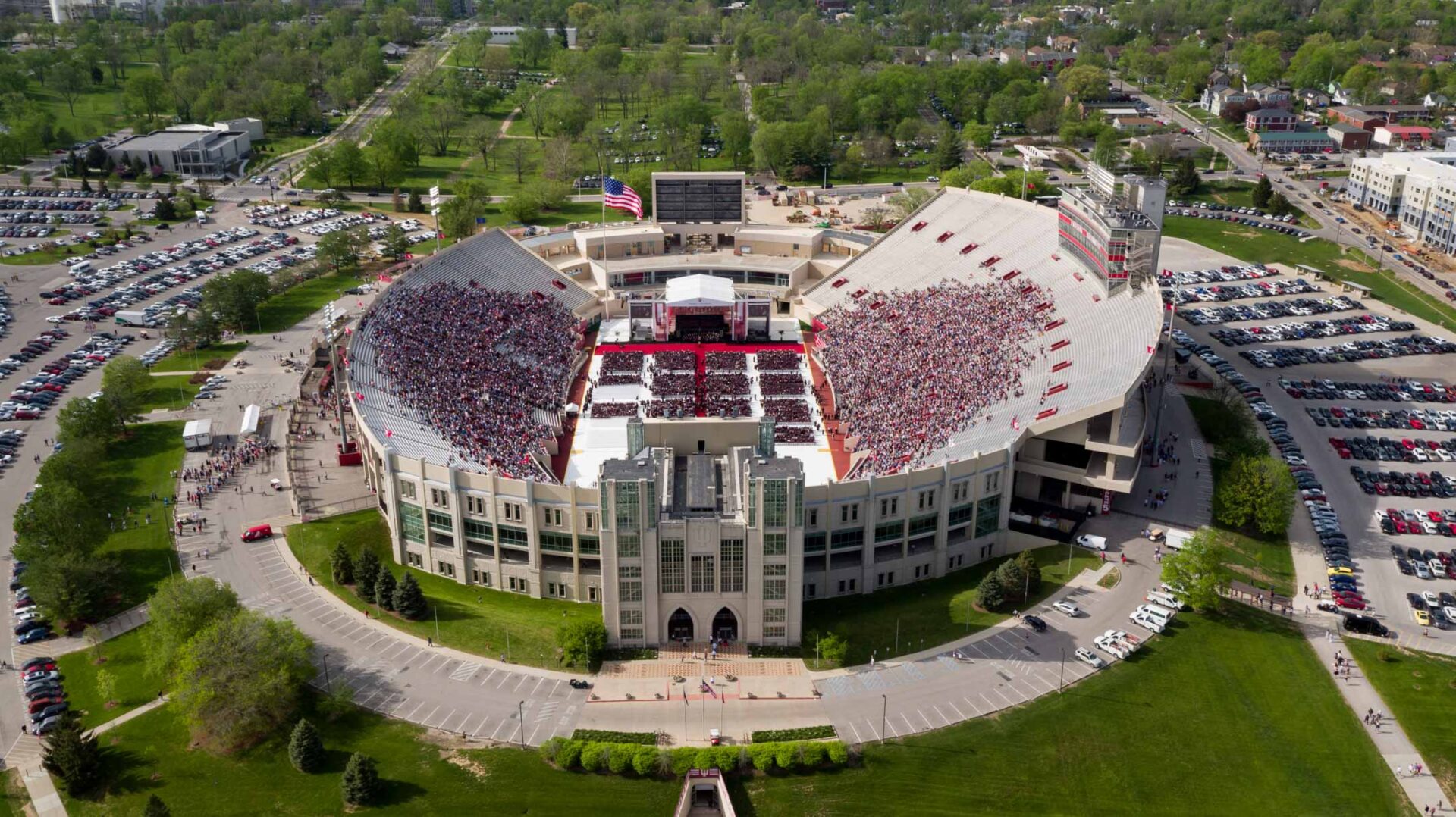
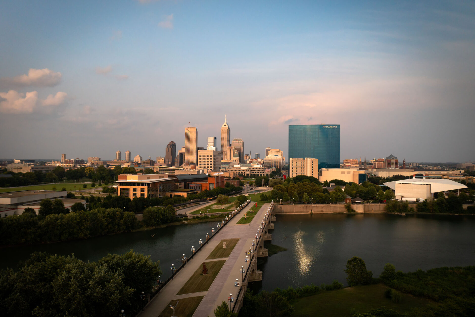
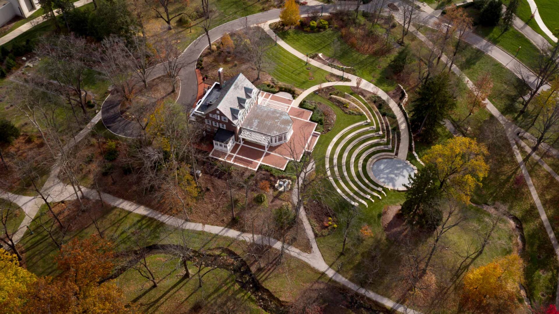
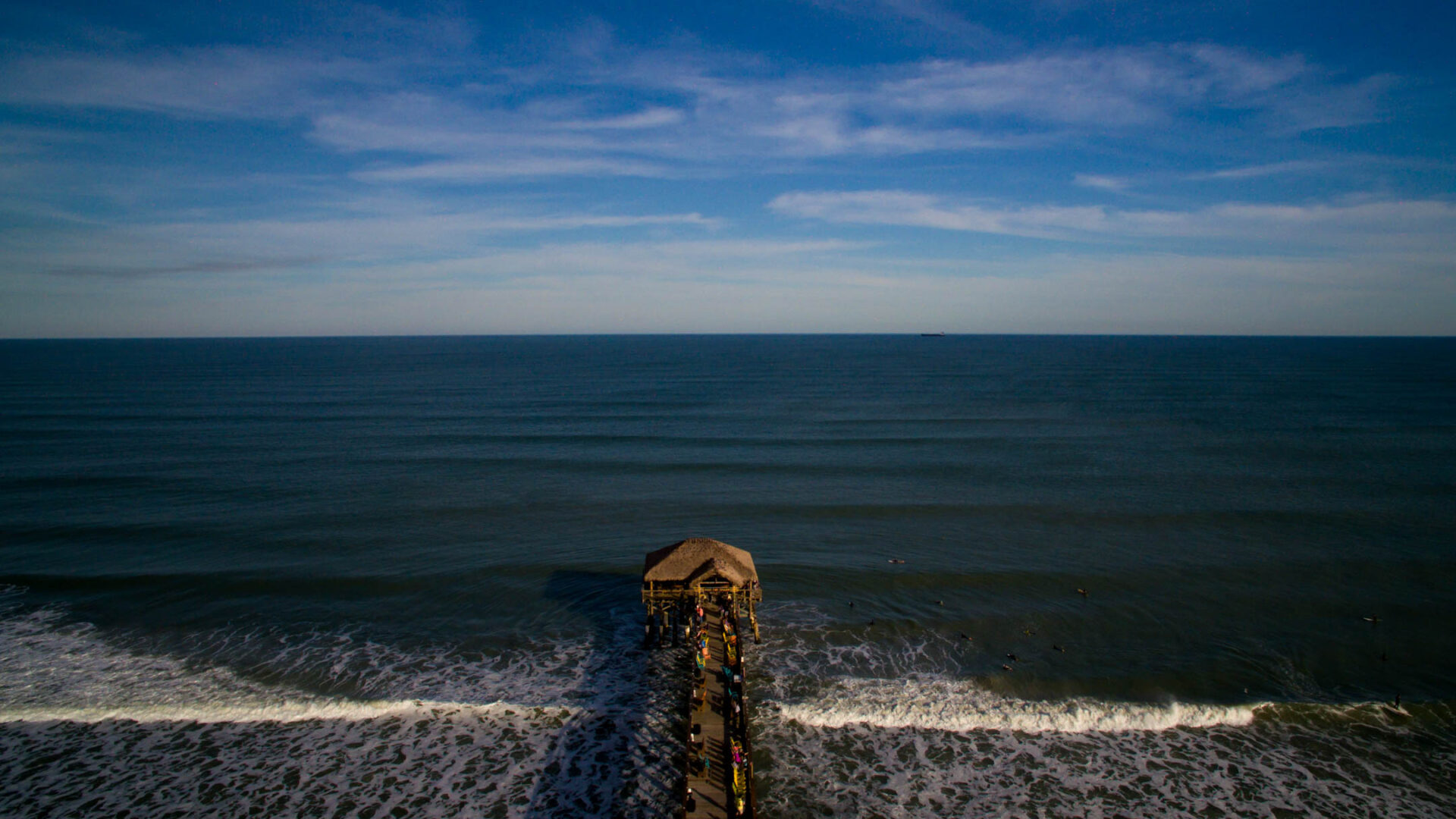
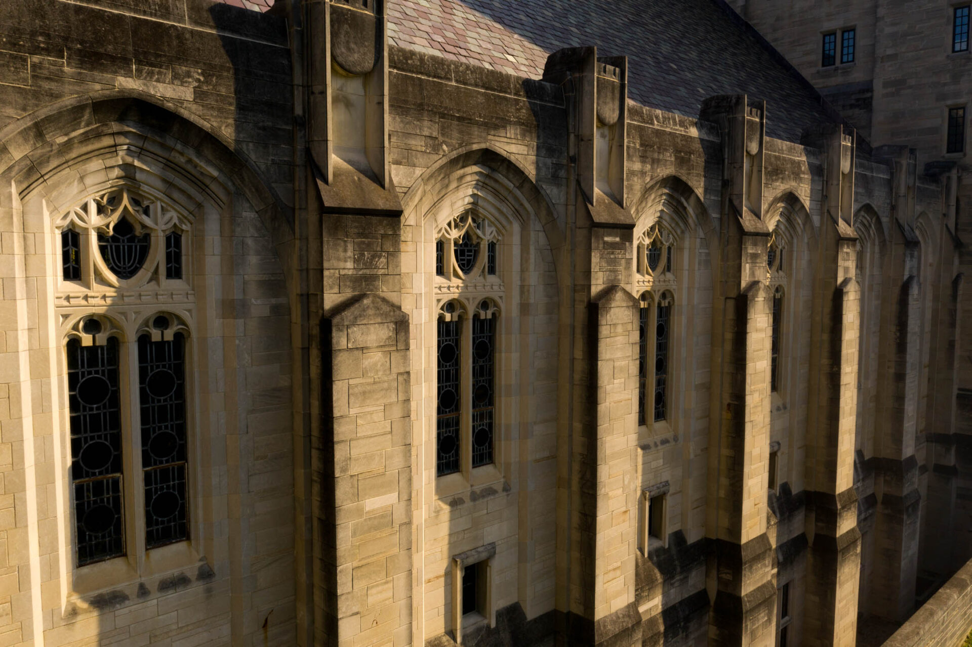
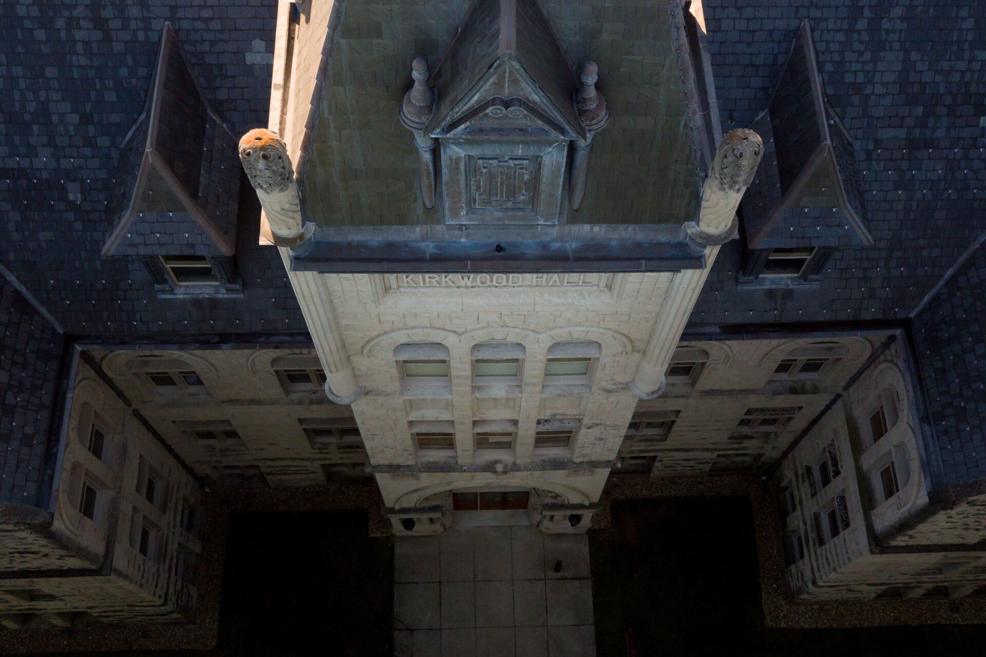
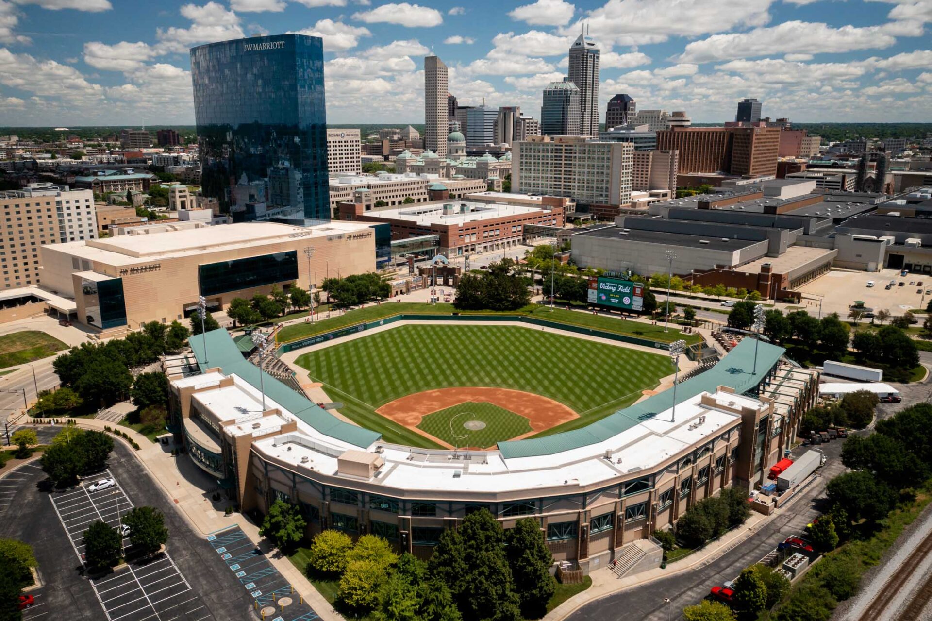
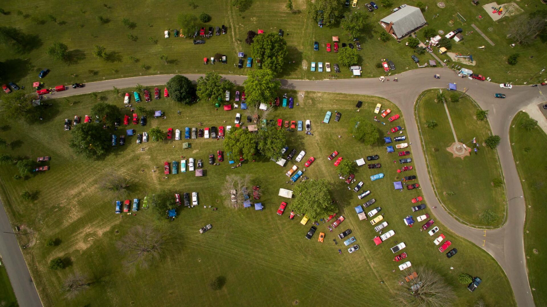
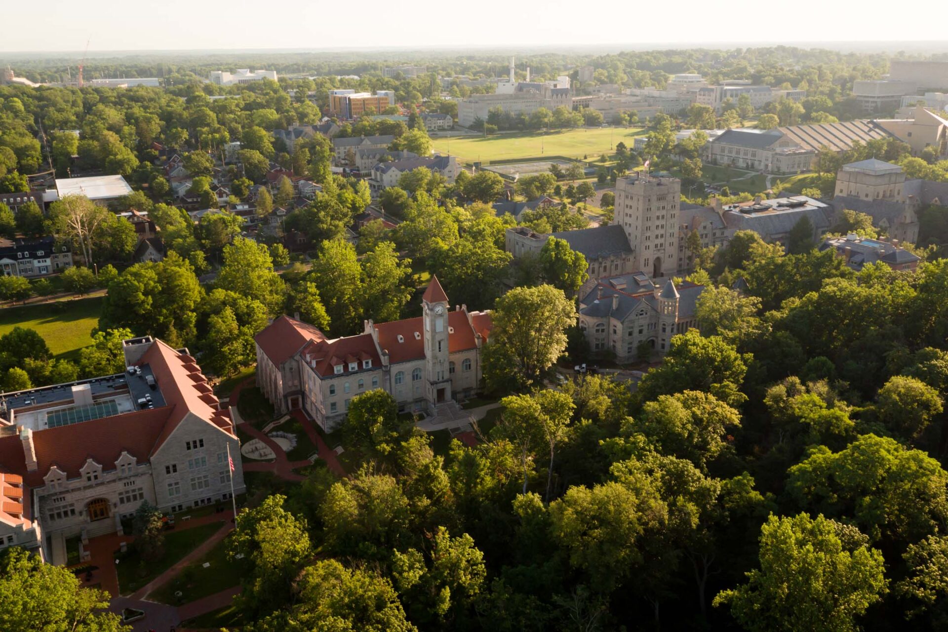
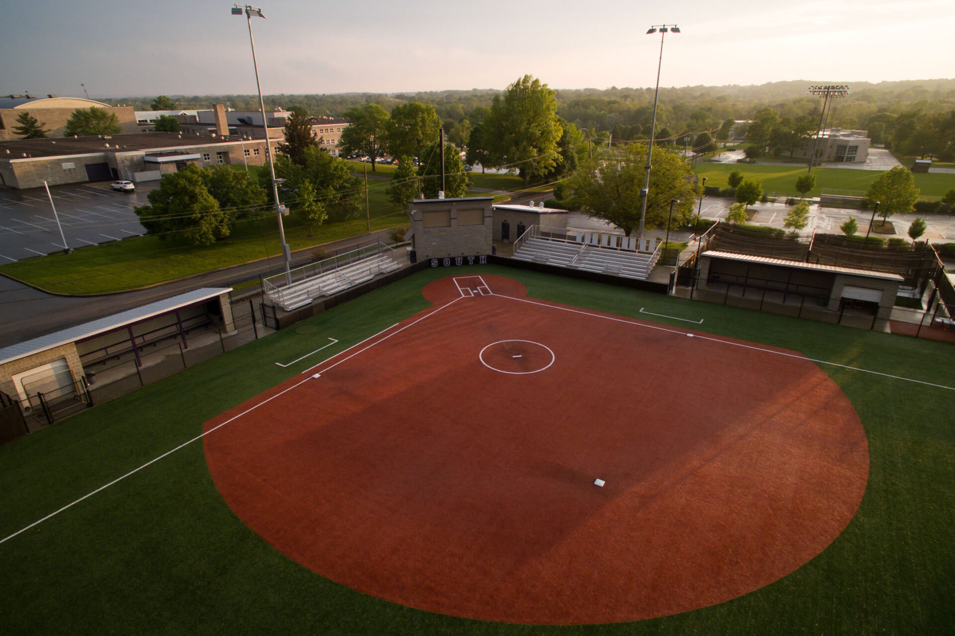
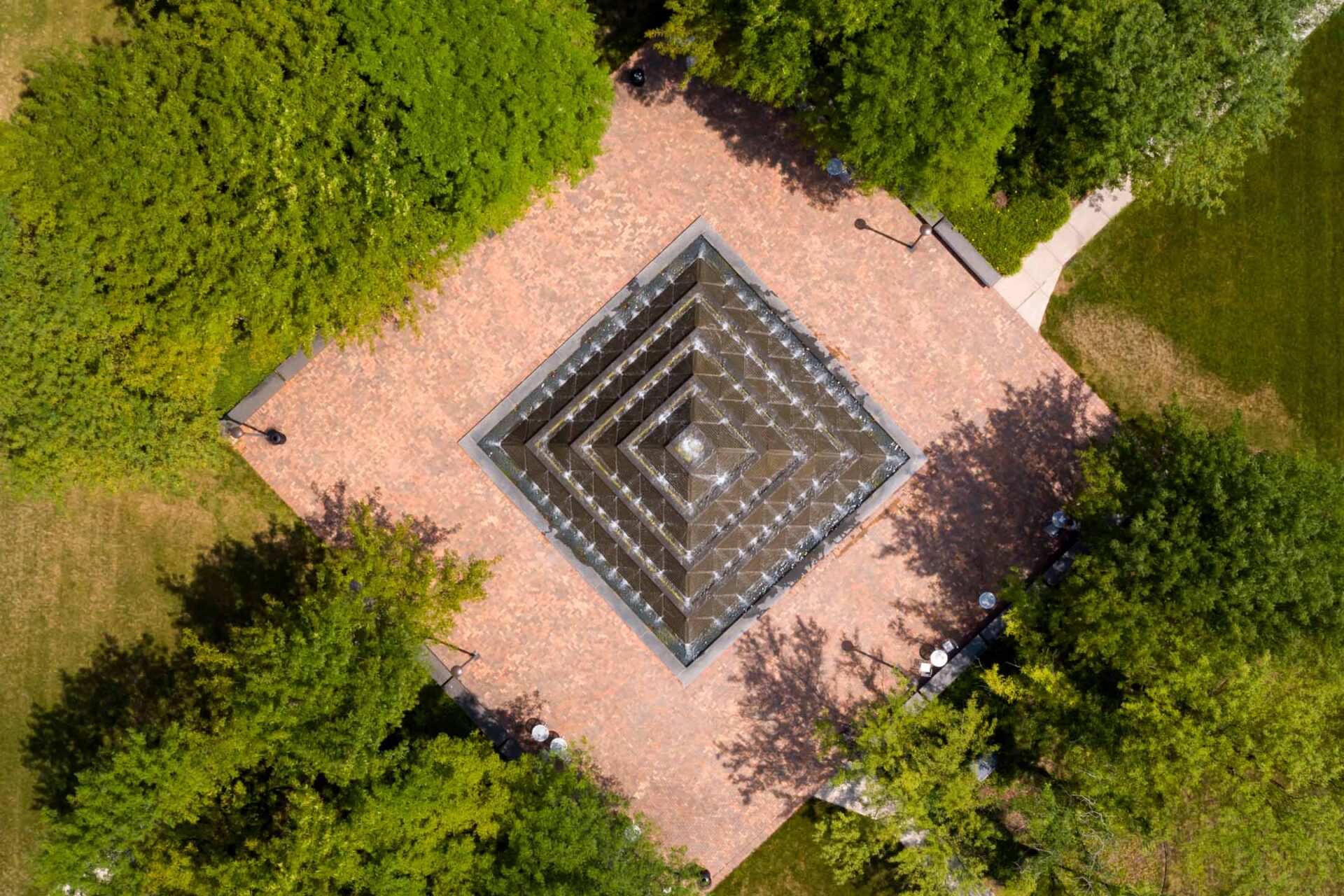
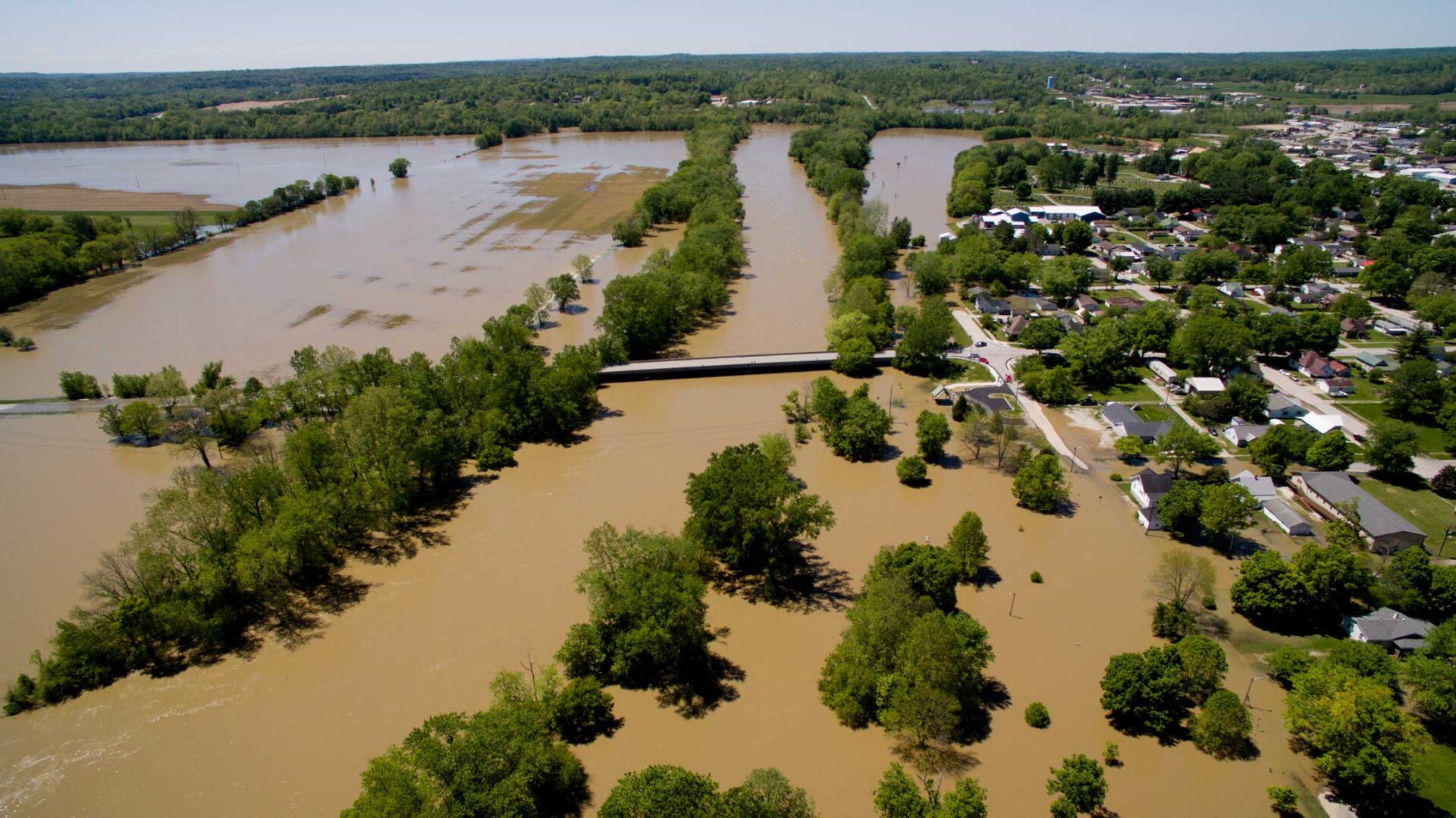
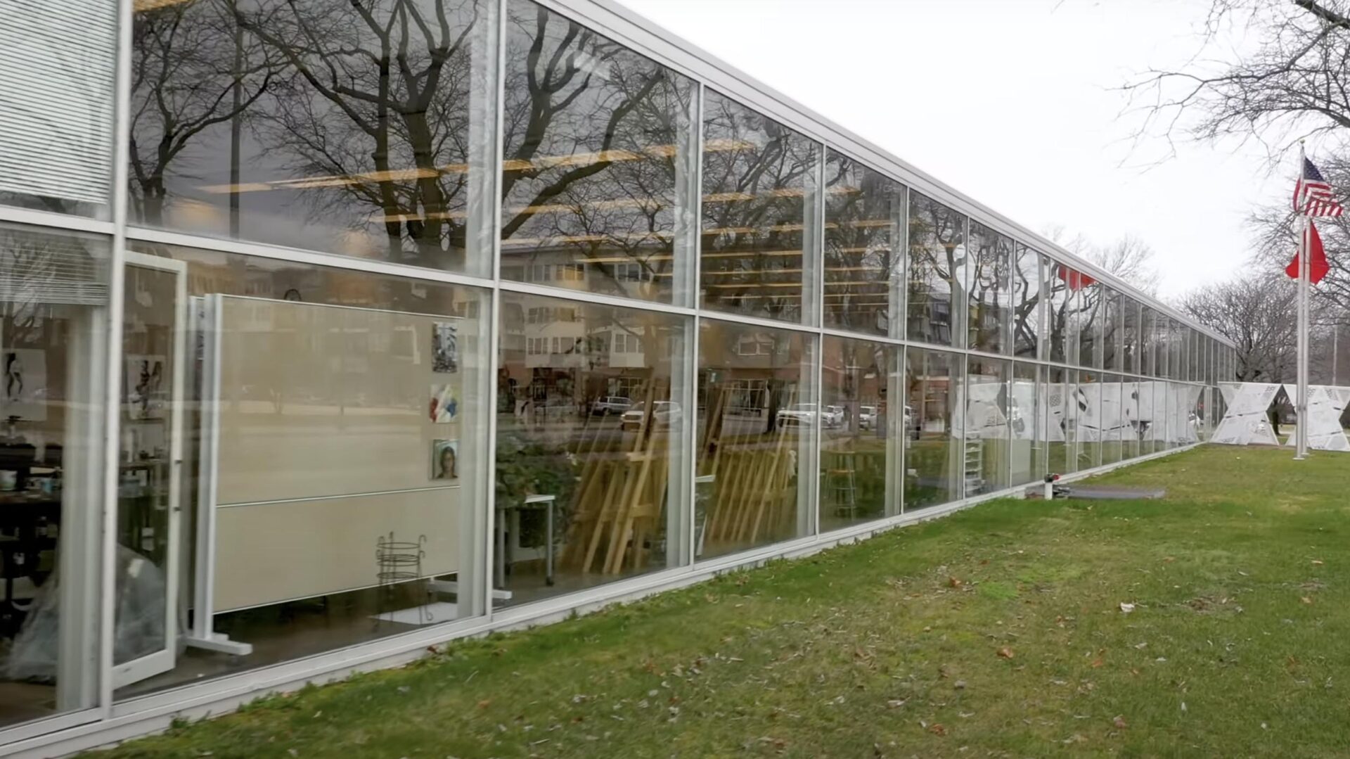
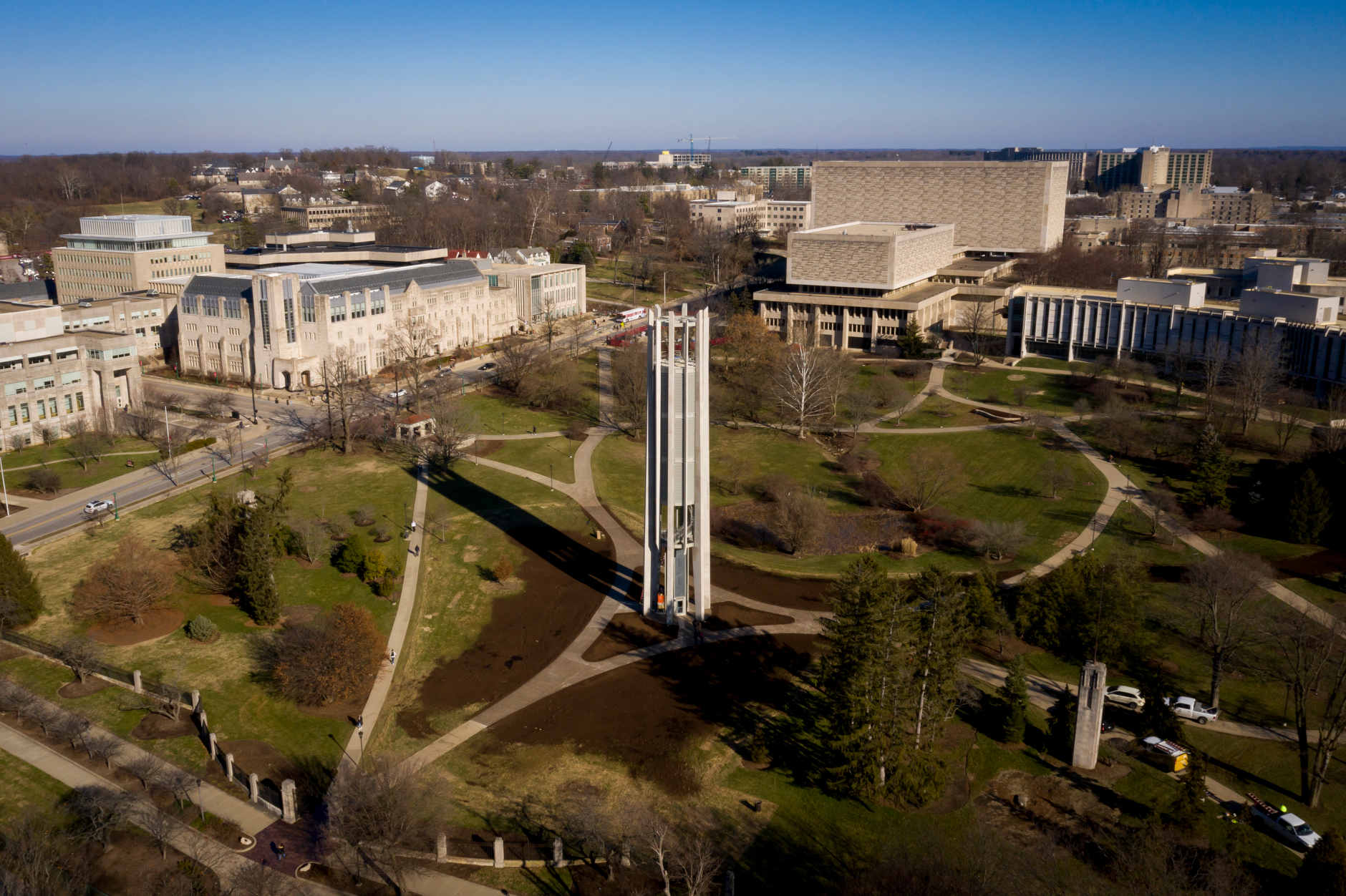
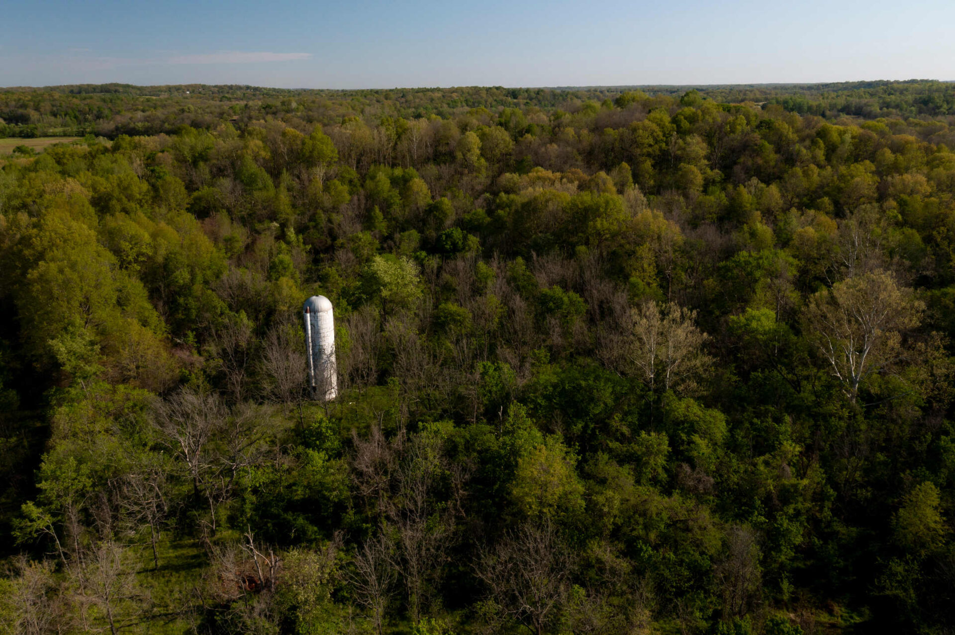
Bloomington, Indiana Drone Photography

I’m a Bloomington, Indiana-based drone pilot licensed by the Federal Aviation Administration to conduct commercial sUAS (drone) flights. Since earning my license in March 2017, I have conducted more than 300 missions, logging more than 51 hours of flight time.

I have airspace authorization from the FAA to fly over most of Bloomington, Indiana. This means I can lawfully conduct commercial drone flights within the city. I also have a 107.29 Daylight Operation waiver allowing me to conduct commercial drone flights at night.

Drone videography

Visual Portfolio, Posts & Image Gallery for WordPress
Video

Columbus Republic Building

The Metz Bicentennial Grand Carillon stands in the Cox Arboretum at IU Bloomington on Thursday, Jan. 16, 2020. (James Brosher/Indiana University)
Video

Metz Bicentennial Grand Carillon

Video

Former GM Property

Video

Lake Ouachita, Arkansas

Video

Church Lane Home

Flooding is pictured looking west along the White River near Cooper's Commons park in Spencer, Indiana on Sunday, May 7, 2017. The Old Ellettsville Road bridge is pictured at center. (Photo by James Brosher)
Video

Spencer, Indiana Flooding

Flight restrictions

All flights are conducted in strict accordance to FAA regulations. Because of this my drone flights are limited to:

  • 400 feet above ground level
  • No flights directly over a person who is not under a safe cover (structure or vehicle)
  • Within the visual line-of-sight of the pilot
  • 500 feet below, 2,000 feet horizontally from clouds

Book me

Rates and availability vary depending on scope of flight. Please contact me for a project-specific quote via phone at 765.744.0865 or via email.

Certification

Remote Airman Certificate, Small Unmanned Aircraft System Rating – Federal Aviation Administration

Authorizations and Waivers
  • 107.41 Operation in Certain Airspace (Bloomington, Indiana Class D controlled airspace)
  • 107.41 Operation in Certain Airspace (Columbus, Indiana Class D controlled airspace)
  • 107.29 Daylight Operation
Equipment

DJI Mavic 2 Pro equipped with a 4K camera capable of shooting 2160p video at 24 frames per second and/or still photos up to 5472 × 3648 pixels (20 megapixels). Battery capacity allows for two and a half hours of flight before recharging.

Insurance

Member of the Verifly on-demand insurance network, providing aviation liability insurance for all drone flights.

Copyright © 2023 James Brosher  |  james@brosher.com  |  765.744.0865  |  Instagram logo
  • Copyright © 2023 James Brosher
  • james@brosher.com
  • 765.744.0865
  • Instagram logo